
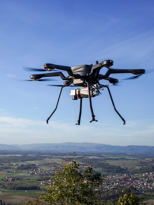
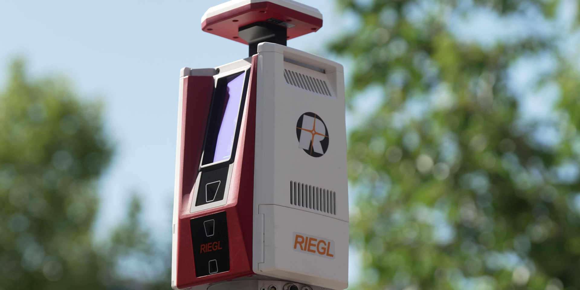
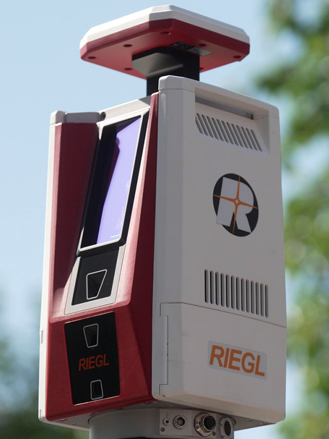

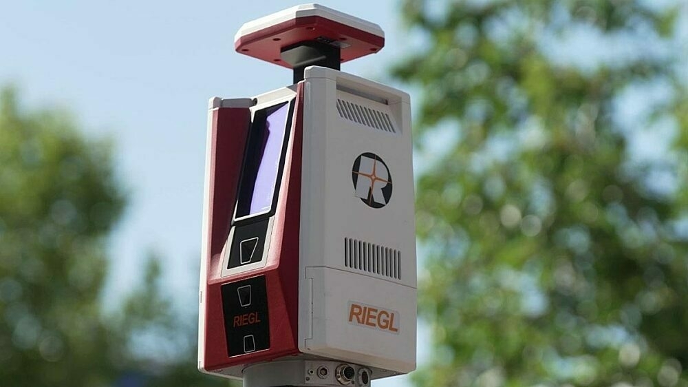
New RIEGL Laser Scanning Solutions for UAV-based Surveying
Latest news

Bluesky aerial mapping technology reveals carbon stored in Britain’s hedgerows
6th June 2024
Bluesky aerial mapping technology reveals carbon stored in Britain’s hedgerows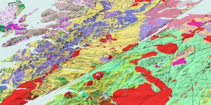
Ordnance Survey expands into new territory with British Geological Survey
6th June 2024
Ordnance Survey expands into new territory with British Geological Survey
Fixed-Wing Drones: Are They Better Than Multi-Rotor?
5th June 2024
Fixed-Wing Drones: Are They Better Than Multi-Rotor?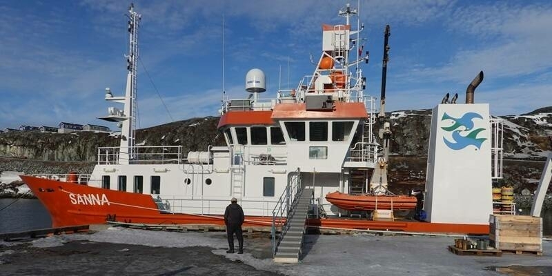
Cube4EnvSec Linking Ship Sensors into Federation
5th June 2024
Cube4EnvSec Linking Ship Sensors into FederationVideos
RIEGL VZ-600i: High Speed Laser Scanning for Professionals
12th October 2023
RIEGL VZ-600i: High Speed Laser Scanning for Professionals

KOREC Group unveils new customer-centric Mission Statement
18th April 2023
KOREC Group unveils new customer-centric Mission StatementIn Depth
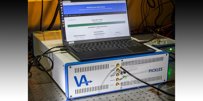
Scientists create new atomic clock that is both ultra-precise and sturdy
29th April 2024
Scientists create new atomic clock that is both ultra-precise and sturdy

Autonomous and Sensor Technology Industry to Double and Hit $55 Billion Value by 2030
23rd April 2024
Autonomous and Sensor Technology Industry to Double and Hit $55 Billion Value by 2030Events

24-26
Sep
INTERGEO 2024
INTERGEO 2024
11-12
Sep
Space-Comm Scotland
Space-Comm Scotland
08-10
Aug